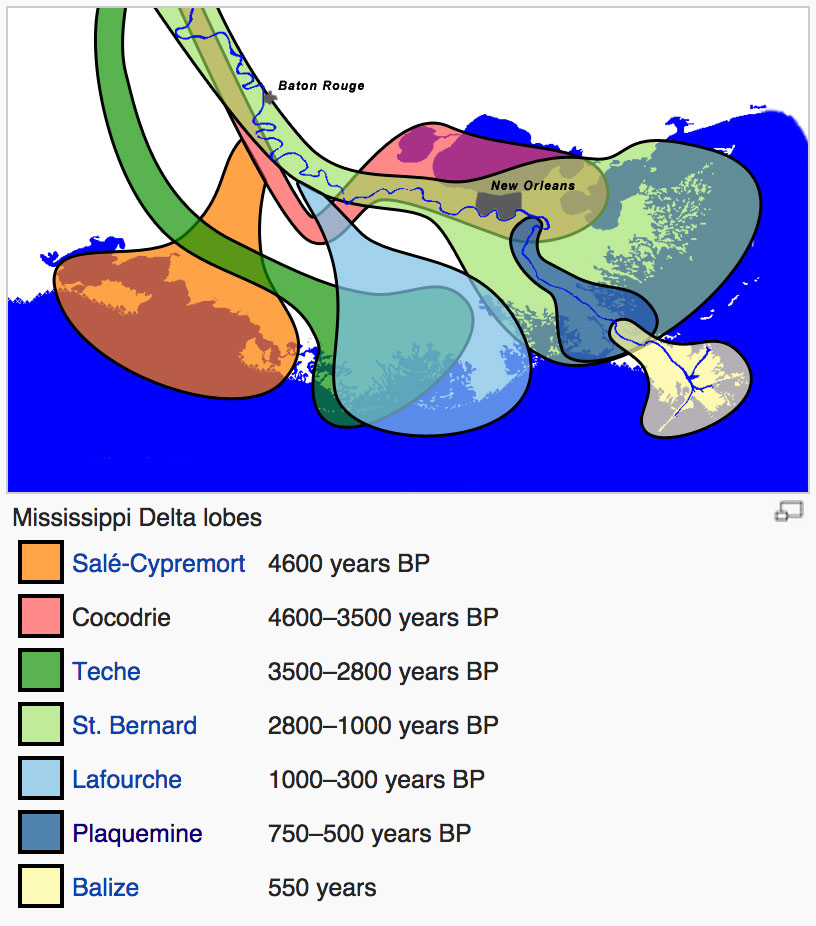
Here’s a fantastic piece of long-form journalism by Brett Anderson with tons of incredible graphics and maps (and discussions of inaccuracies of maps) on the shape of Louisiana’s coastline and trying to keep track of it. This coast is continuing to shift quickly — as it has done for millennia — only now people live there, and the land is receding sharply, not re-arranging laterally or extending outward.
According to the U.S.G.S., the state lost just under 1,900 square miles of land between 1932 and 2000. This is the rough equivalent of the entire state of Delaware dropping into the Gulf of Mexico, and the disappearing act has no closing date. […] An area approximately the size of a football field continues to slip away every hour.
One problem is falling sediment levels to replenish the Delta’s land, a result of levees and other river construction projects that artificially constrain the Mississippi River’s course and its flood plain patterns. Another is rising sea levels, due to man-made global warming. Between the two (plus recurring factors like Gulf hurricanes), the state’s distinctive “boot” shape is more and more a historic relic that keeps appearing on maps but doesn’t exist on the ground.


